
A web service that aggregates flood, tsunami, landslide, earthquake probability, land price, climate, and distance-to-city data for all 1,892 Japanese municipalities from primary sources such as the National Land Numerical Information, the Hazard Map Portal, J-SHIS, and the Japan Meteorological Agency, and lets you compare them on a single map. No composite score is computed. Only raw values with their units and sources are shown. From each municipality's detail view you can jump straight to its vacant-house bank and relocation pages.
Key Features:
- ✓Filter by 8 metrics: flood, tsunami, landslide, earthquake probability, land price, climate, and distance to major cities
- ✓Map coloring and list sorting follow the same filter
- ✓Goal-based quick starts such as "flood-resilient" or "warm winters"
- ✓Hazard Map Portal tile overlays
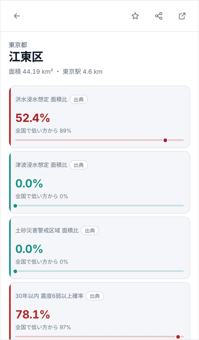
- ✓Per-municipality metrics, sources, national rank, and links to vacant-house banks
- ✓Shareable filter state via URL
Target Users:
- →People choosing where to relocate with disaster risk in mind
- →Anyone who wants to compare land prices and climate by the numbers
- →Those who prefer primary data over rankings